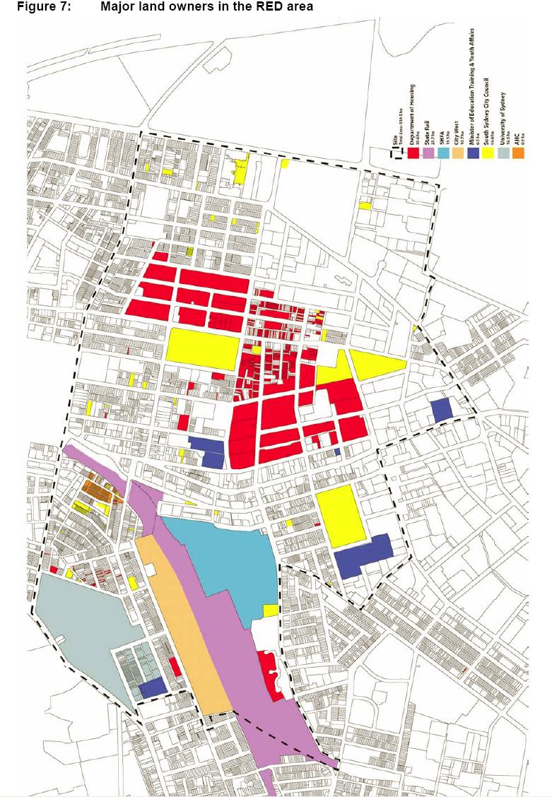
This colour map shows the major land owners in the RED area. About one third of the area is owned by government departments. This map is Figure 7 “Major land owners in the RED area” from the NSW Government Submission for the Inquiry into Redfern and Waterloo 30 April 2004. File size is 186 Kb.
Redfern, Eveleigh, Darlington, Waterloo Watch