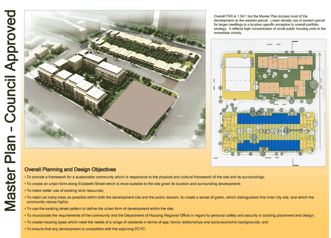
Overall View from Walker – Philip Streets

This diagram was released by the DoH on 9 January 2008 when the Minister announced that work would commence on the redevelopment of Walker and Elizabeth Street DoH properties. PDF 2MB. Download: Overall from Walker-Phillip Corner.jpg »
Aerial view from Walker – Philip Corner

This diagram was released by the DoH on 9 January 2008 when the Minister announced that work would commence on the redevelopment of Walker and Elizabeth Street DoH properties. PDF 3.9MB. Download: Aerial from Walker-Phillip Corner.JPG »

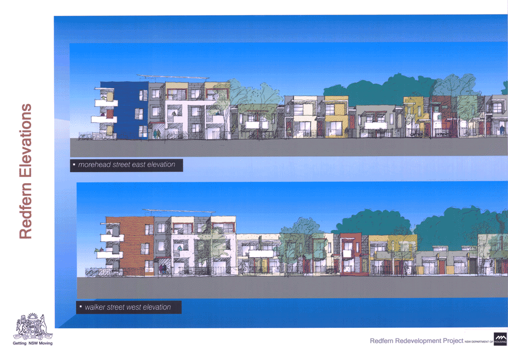
Artists Impression 2

This is the second artist’s impression which shows Morehead Street East Elevation and Walker Street West Elevation (GIF 166Kb).

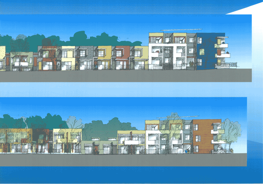
Artists Impression 1

This is the first artist’s impression of the development bounded by Morehead and Walker streets (GIF 115Kb).

Redevelopment as per the Approved Masterplan

This is a copy of the “After” shot from the DoH masterplan for the site. It is currently on the DoH website to show how the project will look upon completion (GIF 178Kb).

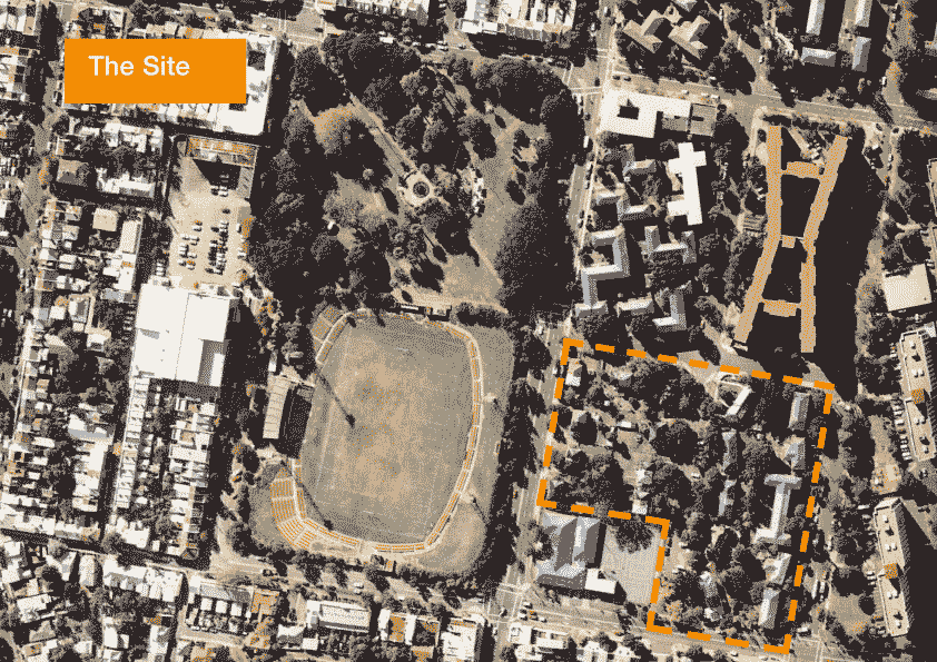
Area covered by Redevelopment

This map shows the area covered by the Department of housing re-development bordered by Elizabeth St, Phillip Street, Morehead street and Kettle Street (GIF 106Kb).