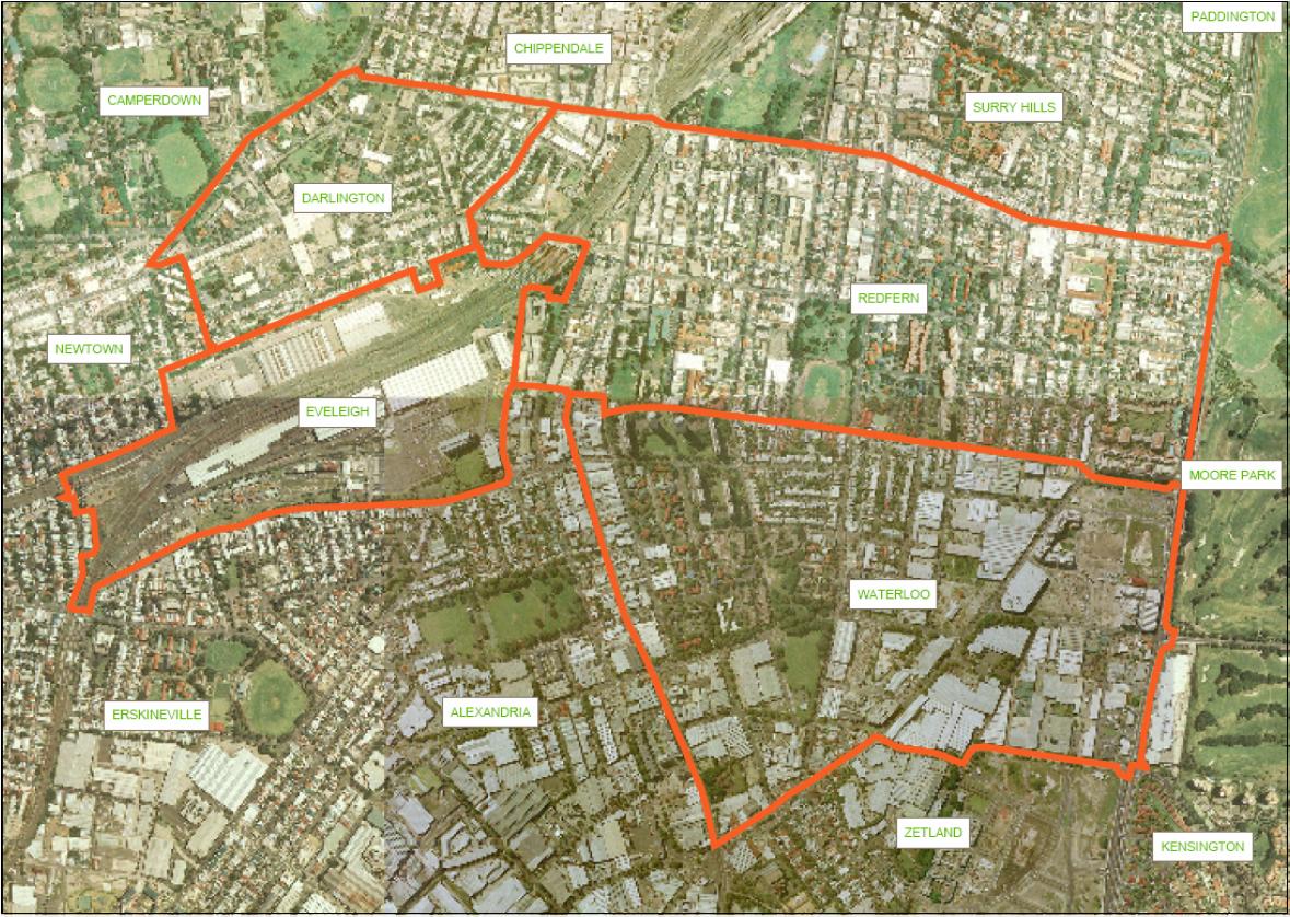
RWA Photo Suburb Map
This map shows a photo of the suburbs that make up the RWA with the suburb boundaries marked. This map is Figure 1 "Area covered in surrounding linked communities" from the NSW Government Submission for the Inquiry into Redfern and Waterloo 30 April 2004. File size is 264 Kb.
https://dev.redwatch.org.au/RWA/maps/RWA%20Suburbs%20F1.jpg/view
https://dev.redwatch.org.au/@@site-logo/logo.gif
RWA Photo Suburb Map
This map shows a photo of the suburbs that make up the RWA with the suburb boundaries marked. This map is Figure 1 "Area covered in surrounding linked communities" from the NSW Government Submission for the Inquiry into Redfern and Waterloo 30 April 2004. File size is 264 Kb.